
What the Florida Reef Map Covers
The Florida reef map stretches the state’s entire coral frontier, from the Dry Tortugas west of Key West through the Lower, Middle, and Upper Keys, past Biscayne and Miami, then up the Broward and Palm Beach coastlines. It also charts artificial reefs laid down along the Gulf side from Tampa Bay to the Panhandle. If you’re scouting snorkel spots, dive moorings, or a drift route for your next charter, this is your one-look view of where to go and how to do it right.
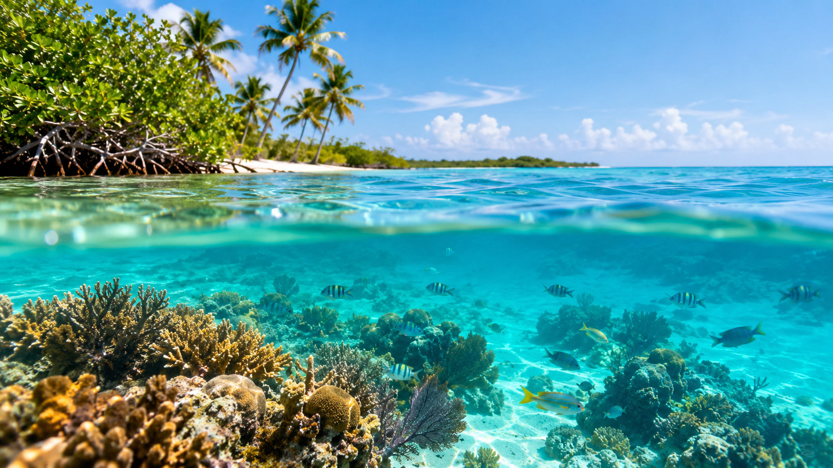
Symbols flag key features you’ll use on the water: mooring buoys at named reefs and wrecks; sanctuary zones and Special Preservation Areas (SPAs) where no-take rules apply; beach and marina entry points; and hazards such as shallow hardbottom, shoals, and marked channels. Site notes call out reef types you’ll see underwater—classic spur-and-groove formations lining the outer reef tract, patch reefs closer to shore with sandy swim lanes, broad hardbottom with sea fans and sponges, and wrecks turned into living reef.
Layer options keep planning practical. Toggle depth contours to plan a snorkel in 10–20 feet versus a deeper dive in 40–80. Turn on marine park and sanctuary boundaries to understand where anchoring is restricted and where mooring balls are available. Seasonal closures for turtle nesting beaches and no-entry areas appear at higher zoom, and offshore layers highlight Gulf Stream proximity off Palm Beach and the reef terrace breaks off the Keys. The net result: less guessing when you’re pairing a site to the day’s wind, skill level, and boat access.
How to Use the Map for Trip Planning
Start with the basics: who’s going, and what can they handle? The florida reef map helps you match sites to skill level and access. For new snorkelers and families, look for patch reefs and protected bays with depths under 20 feet and short surface swims from the boat. Confident freedivers can pick outer reef spurs and deeper patch clusters. Certified divers can step up to the walls, ledges, and wrecks marked with advanced depth ranges and current notes.
Check access first. Some sites are “shore doable” on calm days—nearshore reefs off Lauderdale-by-the-Sea, for example—while most Keys and Biscayne reefs are best reached by boat using public marinas or charter departures. The map’s marina pins and boat ramps cut down on guesswork: think Key Largo’s Pilot House and Garden Cove Marina in the Upper Keys, Marathon’s Boot Key Harbor in the Middle Keys, or Homestead Bayfront Park when you’re lining up Biscayne trips. For the Gulf Coast, look at county reef charts and coastal ramps such as Clearwater, Sarasota, and Naples to hit named artificial reefs offshore.
Plan around wind, seas, and visibility by region and season. The Upper Keys can stay clear in an easterly when the Middle Keys turn milky; Biscayne may glass out after a weak front when the Lower Keys get chop. Before you go, review the marine forecast from the National Weather Service in Key West for wind, wave height, and thunderstorm chances. If seas are stacked, shift to a lee-side patch reef or an inshore snorkel program instead of an exposed outer spur.
Use the GPS coordinates built into each site marker to set your plotter or hand-held. Operators use these same numbers when lining up mooring balls and descent lines. If you’re chartering a private boat, the map’s launch points help you estimate run times and fuel. Download offline charts to your phone or tablet before you lose signal offshore, and toss a paper backup into a dry bag as a failsafe. Electronics fail; paper doesn’t.
Florida Keys Reef Tract Overview
Upper Keys: Key Largo and Islamorada
Coral country starts fast in Key Largo. Molasses Reef, French Reef, and Key Largo Dry Rocks (home to the bronze Christ of the Abyss) headline the map and live up to the hype: shoaling spur-and-groove, fingers of living coral, and sandy corridors for easy snorkeling. Visibility often runs 40–70 feet in summer, with reef tops in 10–25 feet and drop-offs that put divers in the 40–60-foot range. Many sites are studded with mooring buoys—grab a pennant rather than dropping the hook to protect the coral.
Islamorada mixes family-friendly patch reefs like Cheeca Rocks and Alligator Reef’s shallows with deeper outer reef ledges for divers. On light wind days, you’ll find sea turtles hugging the contour lines and schools of chub, yellowtail snapper, and grunts looping over the heads. When a cold front pushes through or the swell wraps, the map makes it easy to pivot to more protected patch sets behind the outer reef.
Middle Keys: Marathon and Sombrero
Between the Seven Mile Bridge and Long Key, Marathon’s reef line is a crowd-pleaser. Sombrero Reef is a classic—marked by a tall day beacon, ringed by mooring balls, and dotted with swim-throughs and spur cuts perfect for snorkelers in 10–20 feet. Deeper spurs hold lobsters, sponges, and cruising barracuda. The map shows clusters of smaller patches north and south that spread out boat traffic on busy weekends. This is also a good stretch to test a drift dive along a consistent depth contour when current is mild and visibility holds.
Lower Keys and Dry Tortugas
South of Big Pine and Looe Key, the reef widens into wave-sculpted gardens and mini-walls. Looe Key’s Sanctuary Preservation Area glows on the map for a reason—big parrotfish, soft corals waving in the surge, and the occasional reef shark gliding through. Mooring buoys make access straightforward, and the topography works for both snorkelers and divers on the same charter. Continue west and you hit the Dry Tortugas: long rides, fewer boats, and reefs that feel untouched. Walls and coral gardens bloom around Loggerhead and Garden Key, with visibility that can spike after calm spells. You’ll need to arrange a long-range trip, bring extra supplies, and plan permits and anchorage rules ahead of time; the payoff is pristine reef and open-ocean fish life.
Across the Keys, mooring buoys are the way to go. Anchoring on living reef is off-limits inside the sanctuary, both to protect coral and to make your life easier in a swell. For zone maps, buoy locations, and the do’s and don’ts in protected areas, check NOAA’s Florida Keys National Marine Sanctuary before you launch.
Miami and Biscayne National Park Reefs
South of Key Biscayne, the florida reef map traces fringing reefs off Elliott Key and Boca Chita Key inside Biscayne National Park. Expect low-profile coral ridges, fingers of elkhorn and brain coral on the shallow shelf, and sandy flats between heads where rays bury and turtles cruise. Fowey Rocks Lighthouse marks another focal point—on calm, clear days, its nearby patches can be spectacular, though currents and boat traffic demand awareness.
Emerald Reef and Rainbow Reef sit off Miami Beach and Key Biscayne and reward those who time the weather. A morning with light winds and a falling tide can turn the water gin-clear, with purple sea fans and schools of blue tangs lighting up the reef. Because Miami’s shoreline is built up and channels are busy, access is almost entirely by boat from Miami marinas, Homestead Bayfront Park, or park-operated launches. The map layers show park boundaries, no-wake zones, and posted closures. Inside the park, follow posted speed limits, don’t collect coral or tropical fish, and mind marked closures to protect seagrass and wildlife.
Broward and Palm Beach County Reefs
Broward: Fort Lauderdale and Lauderdale-by-the-Sea
Here the shelf steps close to shore. The florida reef map highlights a trio of nearshore reef lines off Fort Lauderdale and Lauderdale-by-the-Sea where, on a calm day, a short surface swim from the beach can put snorkelers over ledges in 8–20 feet. Shore entry sites cluster around Anglin’s Pier and the beach parks just north and south. Bring a float, fly a diver-down flag, and pick a day with light east winds and small surf. Visibility can swing from 10 to 50 feet depending on swell and runoff, so stay flexible.
Palm Beach: Boynton to Jupiter
From Boynton Inlet to Jupiter, the Gulf Stream brushes the coast, bringing blue water, big life, and popular drift dives. It’s mostly boat access here, launching from Riviera Beach, Lake Worth, or Jupiter Inlet. The reefs are ledgy and linear; you drop, ride the current, and pop up for a pickup. Plan your exit with operators and watch the tide—the inlets run hard. Blue Heron Bridge in Riviera Beach, marked on the map for access and parking, isn’t a true reef but earns top billing for macro life: octopus, seahorses, frogfish, and nudibranchs in 6–12 feet. Go at slack high tide for best visibility.
Gulf Coast and Panhandle Artificial Reefs
Tampa Bay to Naples
On Florida’s west coast, natural coral is scarce, and the map shifts focus to artificial modules and wrecks placed by county programs. You’ll see fields of concrete “grouper hotels,” bridge rubble, military tanks, and decommissioned barges. Some sit close enough to swim or snorkel in clear, calm summer windows—look for nearshore deployments off Pinellas and Sarasota counties. Farther out, 40–90-foot sites cater to divers, with gag grouper, amberjack, and schooling spadefish piling onto structure.
Visibility is the wildcard. After a strong onshore blow, it can go hazy for days. The sweet spot is often the day or two after a cold front when winds swing north, seas lay down, and sediment settles. Before you go, match your plan to the forecast and pick targets with GPS numbers from the map and county reef charts. Bring a good bottom machine; these piles sit on flat sand and are easy to overrun if you’re not watching.
Destin, Panama City and Pensacola
The Panhandle runs deep on artificial reef options. Tugs, Liberty ships, bridge spans, and purpose-built modules dot the seafloor from 50 to 130 feet. On the best days, emerald water clears to 60 feet of vis, and you get textbook wreck silhouettes with bait schools and cruising cobia or mahi in summer. Destin and Panama City operators specialize in drift and wreck dives; the map pins help you sort depth, difficulty, and distance from the pass so you can pick your window. For snorkelers, some inshore reefs and jetties get clean and calm in summer mornings—watch the surf and aim early.
Shipwrecks on the Florida Reef Map
Wrecks are where history meets habitat, and the florida reef map lays out the big names. The Florida Keys Shipwreck Trail strings together giants like Spiegel Grove off Key Largo, USCGC Duane and the Eagle off Islamorada, and the Vandenberg off Key West. Depths push into intermediate and advanced ranges—expect 60–130 feet—and currents can run. On a mooring you’ll be clipped to the wreck itself, sometimes in blue water and sometimes in a ripping drift, so good buoyancy and situational awareness matter.
Each wreck hosts a living skin of corals and sponges with resident schools—horse-eye jacks, barracuda, cubera snapper—and pelagic visitors when the current hums. Penetration is only for trained, equipped divers; there’s more than enough on the exterior for everyone else. Tie to mooring balls instead of anchoring, follow the site briefing, and plan a conservative gas and no-deco profile. Photographers: bring a focus light and be ready for current; wide-angle pays off.
Seasons, Conditions and Wildlife You May See
Summer is prime for snorkeling and casual diving across the Keys and Southeast Florida: warm water in the mid-80s, light winds, and, on many days, 40–80 feet of visibility. Afternoon thunderstorms are routine, so aim for morning departures and keep an eye on the radar through your captain. Winter brings wind and chop, but you get quieter boats, cooler water in the 70s, and clear windows between fronts. Spring and fall swing both ways—calm spells, then breezy streaks. In the Panhandle and Gulf, the best vis often follows a front when the Gulf goes flat and green water cleans up.
Wildlife is the fun part. Expect reef regulars: stoplight parrotfish crunching coral, queen and French angelfish, yellowtail snapper, porkfish, and clouds of bluehead wrasse. Sea turtles browse the edges; southern stingrays flap off the sand; nurse sharks nap under ledges; and you’ll occasionally see a reef shark slide past with a casual tail beat. Look for midnight-blue creole wrasse streaming over the outer spurs, flamingo tongues dotting sea fans, and cleaner shrimp working in nooks. Late summer, corals spawn on select nights—milky clouds in the beams and a sense the whole reef is alive.
Visibility is fickle. Swell, tide, and wind direction can flip the switch in hours. Use the forecast and the map to pick lee-side patches when the ocean kicks up, and don’t be afraid to call an audible at the dock. Jellyfish and other stingers peak in pulses—summer and early fall in many areas—so a thin rash guard or shorty wetsuit is smart, both for protection and sun.
Rules, Safety and Reef Etiquette
Treat the reef like a living city. Don’t touch, stand on, or collect coral; even a fin kick can snap a century’s worth of growth. Practice neutral buoyancy and kick wide of the bottom so your fins don’t dust the coral. Many sites in the Keys have mooring balls—use them instead of anchoring. Sanctuary zones, SPAs, and rules about what you can take and where are detailed by NOAA’s Florida Keys National Marine Sanctuary; study the boundaries on your chart before dropping in.
If you plan to fish around the reefs, make sure you have the proper license and know current size and bag limits, as well as protected species and no-collection rules for aquarium fish. Check the latest regulations with the Florida Fish and Wildlife Conservation Commission and keep a measuring device on board.
On the water, safety is simple: carry the right number and type of life jackets, a sound-producing device, and visual distress signals as required for your boat. A VHF radio, a first-aid kit, and an anchor with proper rode round out the basics. For a full rundown of federal gear and safe-operation guidance, review the U.S. Coast Guard’s boating safety resources before your trip.
Divers and snorkelers should fly a diver-down flag, stay in pairs, and monitor weather. Hydrate, use reef-safe sunscreen, and secure every loose wrapper and bottle so nothing blows overboard. If conditions aren’t lining up—whitecaps, roaring current, green water—pick a more protected site or move the dive. The reef will be there tomorrow.
Booking Guided Reef Experiences
Guides turn a good day into a great one. Look for licensed operators who brief reef etiquette, use mooring balls, cap group sizes, and match sites to conditions. Options range from quick snorkel trips and intro dives in the Keys, to drift dives off Palm Beach, to glass-bottom boat rides for non-swimmers. For each trip, confirm what’s included: mask, fins, and snorkel; wetsuits or vests for flotation; dive guides; park fees; snacks and water; and reef-safe sunscreen. Ask about the day’s plan—sites, depths, expected current—and how they adapt if weather shifts.
Use The Florida Key to compare departures by region and style—Key Largo snorkel runs to Molasses, Marathon double-dip trips to Sombrero, Biscayne outings to Elliott Key, Fort Lauderdale shore-entry coaching, Palm Beach drift packages, and Gulf wreck charters out of Destin and Panama City. Read recent reviews for notes on visibility, wildlife, and crew, then reserve your dates, especially for weekends and holiday weeks when boats sell out fast.
The florida reef map belongs on your phone or plotter before you board. It speeds site selection, keeps you in the right zones, and saves coral by pointing you to mooring buoys instead of anchors. Pair it with a realistic weather read, a good operator or solid boat plan, and a flexible mindset. Do that, and you’ll find yourself finning past sea fans, hearing the distant crunch of parrotfish, and looking up through clear, blue water at the boat—right where you meant to be.
Frequently asked questions
What areas does the Florida Reef Map cover?
It spans from the Dry Tortugas west of Key West through the Lower, Middle, and Upper Keys, past Biscayne and Miami, and up the Broward and Palm Beach coasts. It also charts artificial reefs along the Gulf side from Tampa Bay to the Panhandle. Use it to scout snorkel spots, dive moorings, and drift routes across the whole region.
How do I choose snorkel or dive sites by depth and skill using the map?
You can toggle depth contours to target 10–20 feet for snorkelers or 40–80 for deeper dives. The guide suggests patch reefs and protected bays under 20 feet for new snorkelers and families, outer reef spurs for confident freedivers, and walls, ledges, and wrecks with advanced depth ranges for certified divers. Pair sites to wind and boat access using the regional notes and marina pins.
Can you snorkel from shore around Fort Lauderdale and Lauderdale-by-the-Sea?
Yes—nearshore reef lines there can be reached with a short surface swim on calm days, with ledges in roughly 8–20 feet. Shore entry spots cluster around Anglin’s Pier and nearby beach parks. Bring a float, fly a diver-down flag, and pick light east winds and small surf, since visibility swings with swell and runoff.
How do you access Miami and Biscayne National Park reefs, and are there any rules?
Access is almost entirely by boat from Miami marinas, Homestead Bayfront Park, or park-operated launches. The map shows park boundaries, no-wake zones, and closures to help you plan. Inside the park, follow posted speed limits, do not collect coral or tropical fish, and respect marked closures protecting seagrass and wildlife.
What visibility and depths can I expect at Key Largo’s main reefs?
Visibility often runs 40–70 feet in summer at Molasses Reef, French Reef, and Key Largo Dry Rocks. Reef tops sit about 10–25 feet, with drop-offs putting divers in the 40–60-foot range. Many sites have mooring buoys for easy access without anchoring.
Are you allowed to anchor on the reef in the Florida Keys sanctuary?
Anchoring on living reef is off-limits inside the sanctuary, and mooring buoys are provided across the Keys. Grabbing a mooring pennant protects coral and simplifies your stop in swell. For detailed zone maps, buoy locations, and protected area rules, check NOAA’s Florida Keys National Marine Sanctuary resources before launching.